Introduction to the Topic
Welcome to another exciting journey into the world of Geography! If you have ever looked at a map or a globe, you must have wondered how we find exact locations on our massive planet, Earth. In Class VI Geography, Chapter 2 - Globe: Latitudes and Longitudes, we explore the imaginary lines drawn on the globe that help us pinpoint any place on Earth with absolute precision. Whether you are tracking a flight, using Google Maps, or studying world weather patterns, the grid system formed by latitudes and longitudes is the foundation of navigation. Let us dive deep and make these concepts super easy to understand!
Key Concepts Explained
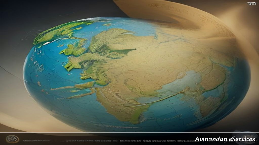
To understand how we map the Earth, we first need to look at our primary tool: the globe. Since Earth is a sphere (actually a geoid, slightly flattened at the poles and bulging at the equator), a flat map can sometimes distort sizes and shapes. A globe is a true miniature model of the Earth.
1. The Axis and the Equator
The globe is mounted on a needle in a tilted position, which is called its axis. Two points on the globe through which the needle passes are the two poles—the North Pole and the South Pole. An imaginary line running on the globe divides it into two equal parts. This line is known as the equator. The northern half of the Earth is known as the Northern Hemisphere, and the southern half is known as the Southern Hemisphere.
2. Parallels of Latitude
All parallel circles from the equator up to the poles are called parallels of latitudes. Latitudes are measured in degrees. The equator represents the 0° latitude. Since the distance from the equator to either of the poles is one-fourth of a circle round the earth, it will measure \frac{1}{4}\text{th} of 360 degrees, that is, 90°. Therefore, 90° north latitude marks the North Pole and 90° south latitude marks the South Pole.
Some important parallels of latitudes include:
- Tropic of Cancer (23° 30' N) in the Northern Hemisphere.
- Tropic of Capricorn (23° 30' S) in the Southern Hemisphere.
- Arctic Circle (66° 30' N) north of the equator.
- Antarctic Circle (66° 30' S) south of the equator.
3. Heat Zones of the Earth
Because the Earth is tilted and spherical, different parts receive varying amounts of heat from the Sun:
- Torrid Zone: The mid-day sun is exactly overhead at least once a year on all latitudes in between the Tropic of Cancer and the Tropic of Capricorn. This area receives the maximum heat.
- Temperate Zones: The mid-day sun never shines overhead on any latitude beyond the Tropic of Cancer and the Tropic of Capricorn. The angle of the sun's rays goes on decreasing towards the poles. These areas have moderate temperatures.
- Frigid Zones: Areas lying between the Arctic Circle and the North Pole in the Northern Hemisphere, and the Antarctic Circle and the South Pole in the Southern Hemisphere, are very cold because the sun does not raise much above the horizon.
4. Meridians of Longitude
Unlike latitudes which are horizontal circles, longitudes are vertical semi-circles running from the North Pole to the South Pole. These lines are called meridians of longitude. The distance between them is measured in degrees of longitude. Each degree is further divided into minutes, and minutes into seconds. They are all of equal length.
Unlike the equator, which was a natural starting point for latitudes, choosing a starting point for longitudes was tricky. It was decided internationally that the count should begin from the meridian which passed through Greenwich, where the British Royal Observatory is located. This meridian is called the Prime Meridian. Its value is 0° longitude and from it we count 180° eastward as well as 180° westward.
5. Longitude and Time
Time can be measured by the movement of the earth, the moon, and the planets. The best way to measure time is by the movement of the sun, shadow casting, and noon positions. When the Prime Meridian of Greenwich has the sun at the highest point in the sky, all places along this meridian will have mid-day or noon.
As the earth rotates from west to east, those places east of Greenwich will be ahead of Greenwich time, and those to the west will be behind it. The earth rotates 360° in about 24 hours, which means 15° an hour or 1° in four minutes. This is why standard time zones are essential for countries spanning large longitudinal \textents, like India, which uses the 82° 30' E meridian as the Standard Meridian for Indian Standard Time (IST), located 5 hours and 30 minutes ahead of Greenwich Mean Time (GMT).
Summary & Key Takeaways
Let us review the most important points from this chapter that you should remember for your exams:
- A globe is a true model of the Earth, showing countries, continents, and oceans at a reduced scale.
- Latitudes are horizontal imaginary lines running parallel to the equator. The equator is 0° latitude.
- Longitudes are vertical imaginary lines running from pole to pole. The Prime Meridian is 0° longitude.
- The grid formed by intersecting lines of latitude and longitude helps us locate any exact spot on the Earth's surface.
- The Earth is divided into three major heat zones: Torrid Zone, Temperate Zones, and Frigid Zones.
- Local time is determined by the Prime Meridian at Greenwich, and countries use specific standard meridians to maintain a uniform national time.